 Antiques (CA)
-
$565.48 CAD

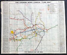 1907-10 George Philip Large Early London Underground Map
-
$28.79 CAD
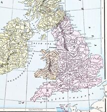 1898 British Isles Historical Map England Ireland Scotland Wales London
-
$40.97 CAD
 1897 MAP Baedeker - London & Environs England 10.5 x 15" (26.5 x 38 cm)
-
$16.44 CAD
 1900 Meyers Map England Wales London Liverpool Oxford Newcastle Great Britain
-
$68.53 CAD
 5 Antique 1920’s/1940's LONDON ENGLAND MAPS/GUIDE BOOKS/ATLAS Paper/Cloth Travel
-
$24.68 CAD
 1952 -14''x 19.5'' English print Map *Historic Canterbury* design by Estra Clark
-
$34.27 CAD
 Antique Original Atlas Map 1900 ENGLAND & WALES - Fisk & See, Eng.- Ephemera Art
-
$41.06 CAD
 1835 Hand Colored Map of Westminster, London Showing the Extent of 1222 In Blue
-
$20.55 CAD
 1840 Beautiful Lithography view of Greenwich in London author: C.Studer


